
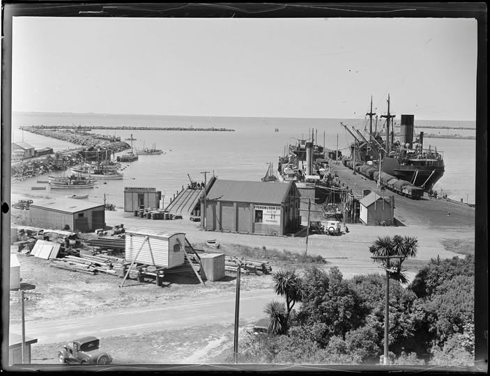
Location: Public viewpoints towards Port of Timaru, Caroline Bay, Benvenue Cliffs area, and port approaches
Access: Public viewpoints only; working port areas are restricted
Associated years: 1914 to 1918, 1939 to 1945
Associated people/groups: port workers, railway workers, farmers, freezing workers, shipping companies, exporters, service families
Timaru’s port connects the town to international war through supply. War is not only combat. It is also food, fibre, shipping, rail, coal, refrigeration, labour and risk.
During the First World War, Britain commandeered New Zealand frozen meat in March 1915, wool in December 1916, and sheepskins, hides and slipe wool in 1917. This placed agricultural districts such as South Canterbury inside the imperial war supply chain.
A sto pat the port also explains why Timaru mattered during the Second World War.
A port town with rail links, beaches and freezing works was strategically important. This connects directly to Smithfield coastal defence, air raid shelters and Home Guard preparation. Nationally, New Zealand Railways was part of the wartime supply chain, carrying troops, freight, letters and newspapers.
Find a WuHoo: When looking at the port, ask: what did Timaru send out, what came in, and why would an enemy care?
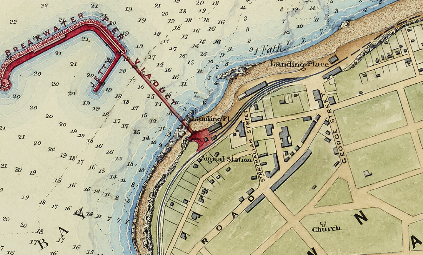
1875 Black Map. Timaru Foreshore. NZ Heritage Maps Platform, accessed 02/05/2026, https://maps.recollect.co.nz/nodes/view/404

J R Bruces Milling and the Timaru Milling Companies "Flour & Oatmeal Mills Timaru. N.Z." fronting onto the railway line off Mill Street, Timaru, circa 1895.