By Roselyn Fauth
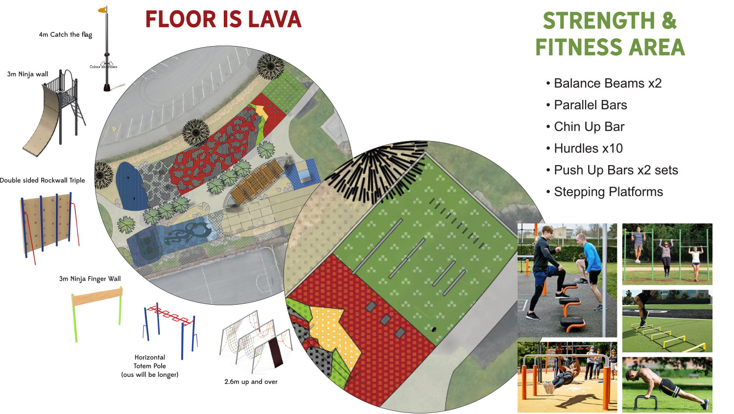
It started, as good Timaru stories often do, with people gathering at Caroline Bay.... kids racing through CPlay’s “Floor Is Lava” course, trying to see what they could acomplish, and testing each other, and most importantly, trying not to touch the ground. The game was simple: stay out of the lava... but in Timaru, that game has a real local twist. Back in the day, the floor really was lava...
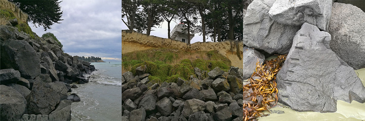
About 2–2.5 million years ago, lava flowed from the Wapouri / Mount Horrible area towards what is now the Timaru coast. It cooled into basalt, the dark volcanic stone that helped shape our reefs, headlands and rocky shoreline. Rather than forming a neat cone-shaped volcano, the eruption created a broad lava field. It appears to have been a single event, after which volcanic activity ceased.
So this is not just a playground story, its about how our land has changed, and the clue is in the rocks.
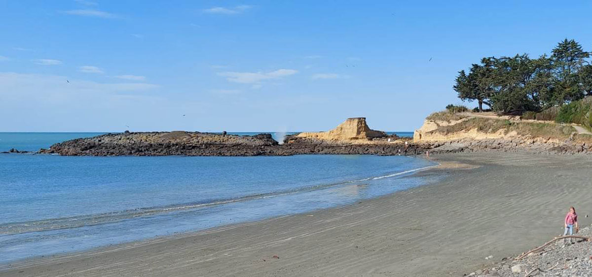
Look north from Caroline Bay towards Dashing Rocks and you'll see the dark basalt that sits below pale loess cliffs. The basalt is ancient lava that flowed, cooled and hardened. The loess came a bit later. Loess is a fine wind-blown silt, laid down during colder, windier periods. Those layers are part of Timaru’s climate story.
That is where John Hardcastle comes in. Hardcastle worked for the Timaru Herald, but he was also a careful amateur geologist. He studied Timaru’s loess cliffs and recognised that their layers told a story about changing climates. His work later gained international recognition, including discussion at a major scientific gathering in Beijing in 1991.
A Timaru man, studying Timaru cliffs, helped others understand climate history.
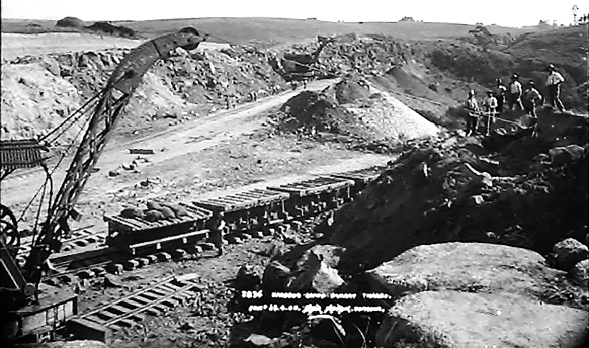
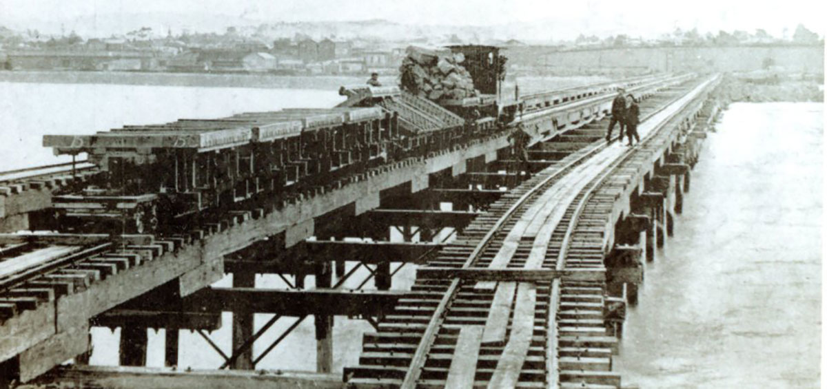
The basalt that flowed towards the coast helped form reefs that gave some shelter to early ships before Timaru had a proper harbour. Later, when the town pushed ahead with harbour works, basalt became useful in another way. It was quarried, carted and used as harbour-protection rock, erosion-control stone, building stone, bridge stone and the “bluestone” still seen in older parts of Timaru.

Nature and distribution of loess in Canterbury New Zealand p8
The same ancient lava that helped shape the coastline also helped build the town.
Caroline Bay has changed hugely. The wide sandy beach we know today was not always there in that form. Before the harbour works, this part of the coast had a rougher edge: rocky shoreline, loess cliffs, wetlands, gravel beaches and streams. Pohatu-koko Stream once ran from the area near the bottom of Wai-iti Road towards the sea. Today it is mostly hidden underground, piped beneath the modern playground and out to the coast.
From the late nineteenth century, Timaru’s harbour works changed the movement of sediment along the coast. Sand began to gather in the shelter of the bay, helping create the Caroline Bay beach that generations of Timaru people now feel belongs to them. Further north, those same changes affected places such as Waimataitai Lagoon, now Ashbury Park, and Waitarakao / Washdyke Lagoon.
The coast did not stand still. It never has.
Centennial Park has a part in this story too. Today we know it for walking, biking, ducks, dogs, trees, picnics and the lake. But it was also quarry land. The Timaru Harbour Board once owned much of the area, and basalt was quarried from the gullies for harbour works. Rock was moved from the reserve towards the port by rail or tramway, and the last of those lines had gone by the late 1950s.
The reserve story also left visible traces inland when in the 1930s, land was acquired for a public reserve. George Bowker donated adjoining land, and the bluestone Bowker Gates helped create a grand entrance opposite Church Street. The reserve opened as Scenic Reserve in 1938 and was known as Centennial Park by 1940.
There is even a deeper mystery in the quarry story. Moa bones were found during rock removal for harbour work, beneath layers described as very old. I would treat the “oldest discovered” claim carefully until we have a stronger scientific source, but it is another reminder that Timaru’s ground holds more than one layer of history.
That is what makes this such a cool WuHoo Timaru story.
The rock came from inland.
It travelled to the sea.
It helped build the port.
The port changed the bay.
The bay became the playground.
And now children race across a course called “Floor Is Lava”.
CPlay’s lava course turns local geology into play. Children do not need a lecture to enjoy it. They just climb, jump, race, balance, problem-solve and try again. But tucked inside the fun is a quiet invitation to look closer.
Why does Timaru have reefs?
Why is there sand at Caroline Bay?
Why are there old quarries in Centennial Park?
Why are our cliffs layered?
Why do some old buildings have dark volcanic stone in them?
Timaru was shaped by lava, wind, sea, streams, reefs, quarrymen, harbour boards, engineers, families, playground designers and children racing each other to the flag.
So next time you are at Caroline Bay, try this little WuHoo history hunt... stand near CPlay and look north. See the cliffs. Imagine dark basalt beneath pale loess.
- Look towards Dashing Rocks. Imagine lava cooling, cracking and hardening into stone.
- Look towards the port. Think of quarry rock, breakwaters and the long fight to create a harbour.
- Look inland towards Centennial Park. Picture the old quarries and the rock that travelled from the gullies to the sea.
Then look back at the children leaping across the “Floor Is Lava” course.
While the game is pretend, the geology is real... and the story under their feet began more than two million years ago.